Follow Y/Our River workshop
Our deep mapping workshop, conceptualised for the Follow Y/Our River Project, offers a site-specific interpretation of the practice as outlined by Brett Bloom & Nuno Sacramento in Deep Mapping (Breakdown Break Down Press, 2017). This method is a detailed exploration and reinterpretation of landscapes, engaging with political, social, economic, infrastructural, and environmental dimensions. It challenges established narratives and dominant belief systems by delving into the specifics of a place, its landscapes, and pathways, revealing what is often hidden by official narratives and authorized views.
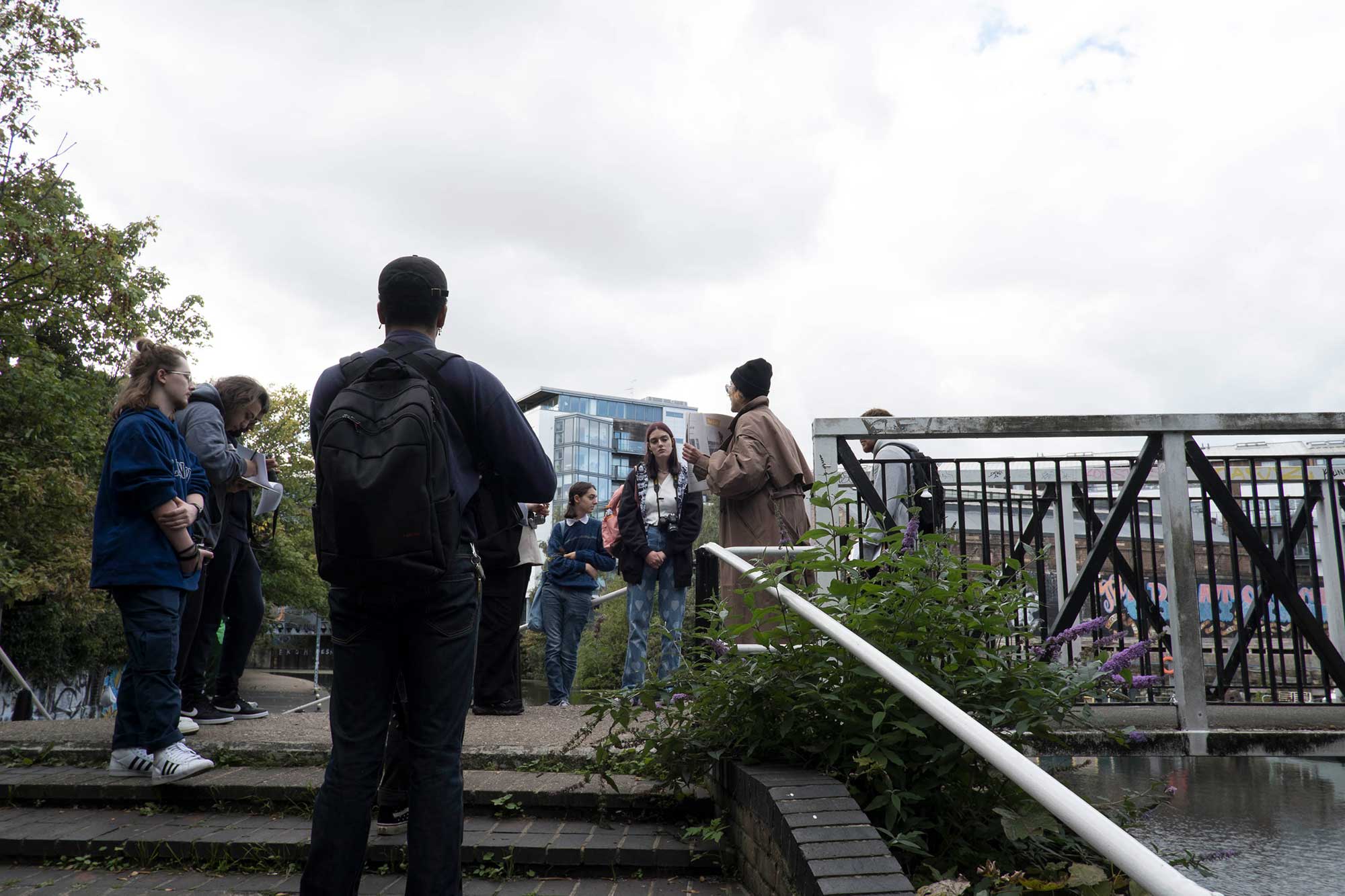
Unlike conventional mapping, which focuses on vast territories from a detached perspective, our approach emphasizes the intimate, subjective, and experiential aspects of space. It highlights the importance of small-scale, personal experiences and physical engagement with the environment, offering a richer, more detailed understanding of place. paula and tamara guided participants through the key principles of deep mapping during the workshop.
The resulting works are featured in the publication Follow Y/Our River: A Manual for Deep Mapping in the Lower Lea Valley, showcasing the unique insights and perspectives gained through this immersive process.
Practice of deep mapping
with Y2 Photography students
London South Bank University
Lower Lea Valley, Oct 7 2022
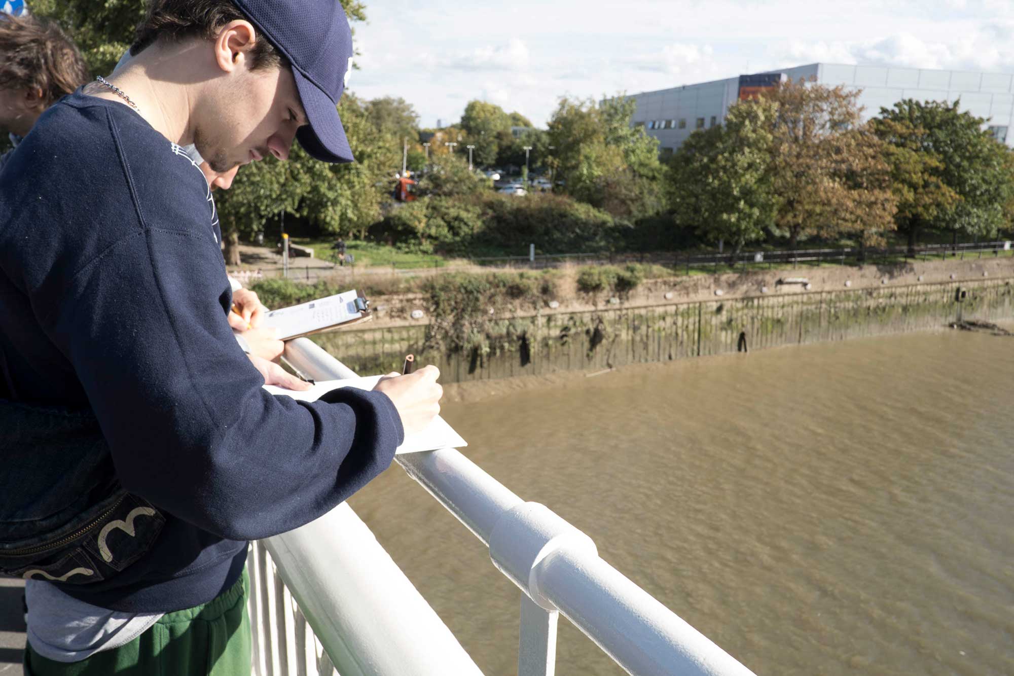
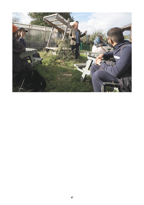
A gathering at observation point #8: Twelvetrees ramp
Actions: Follow the observation protocol
References: Two site-specific publishing projects
Ingrid Pollard ‘Hidden histories, Heritage stories’
Lara Almarcegui 'Guide to the Wastelands of the Lea Valley’
Practice of deep mapping
with Y2 Photography students
London South Bank University
Lower Lea Valley, Oct 7 2022
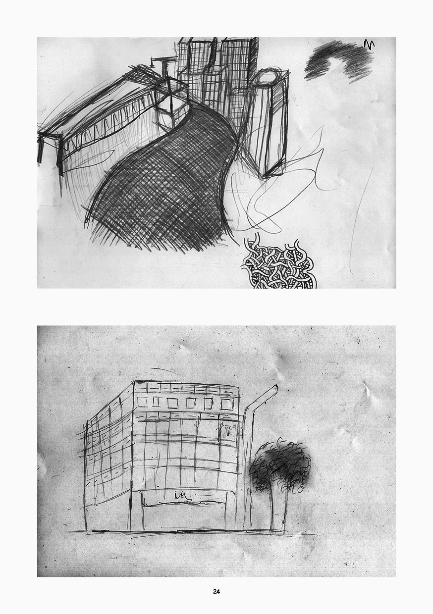
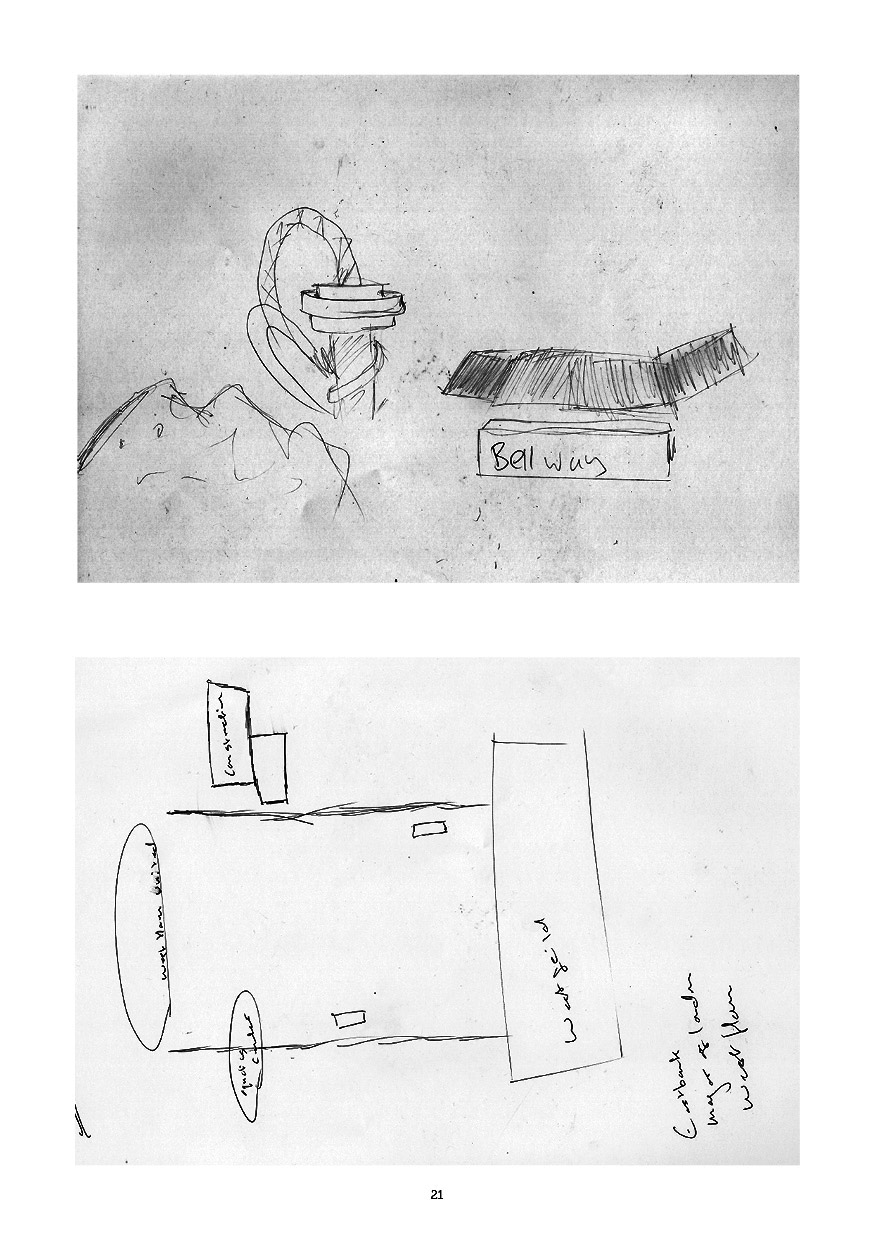
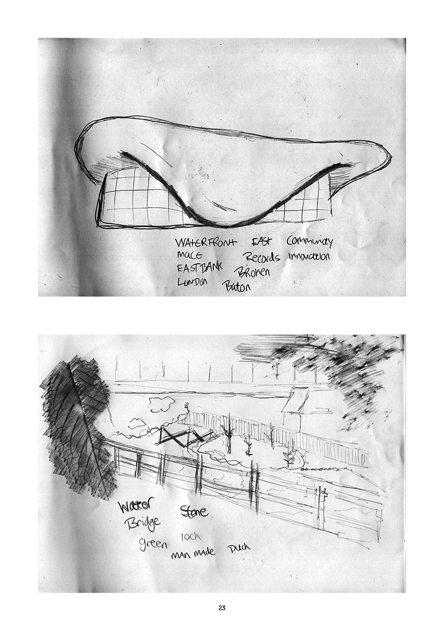
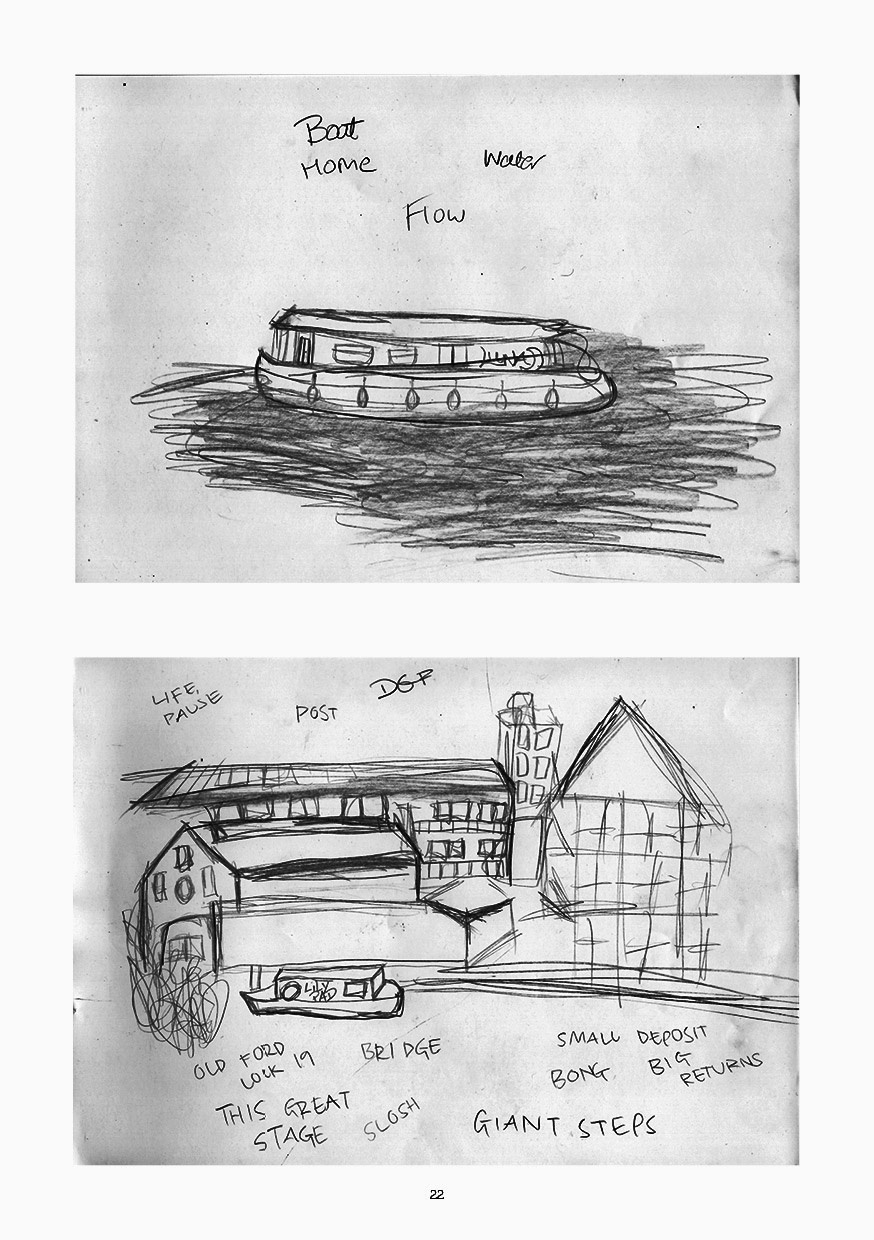
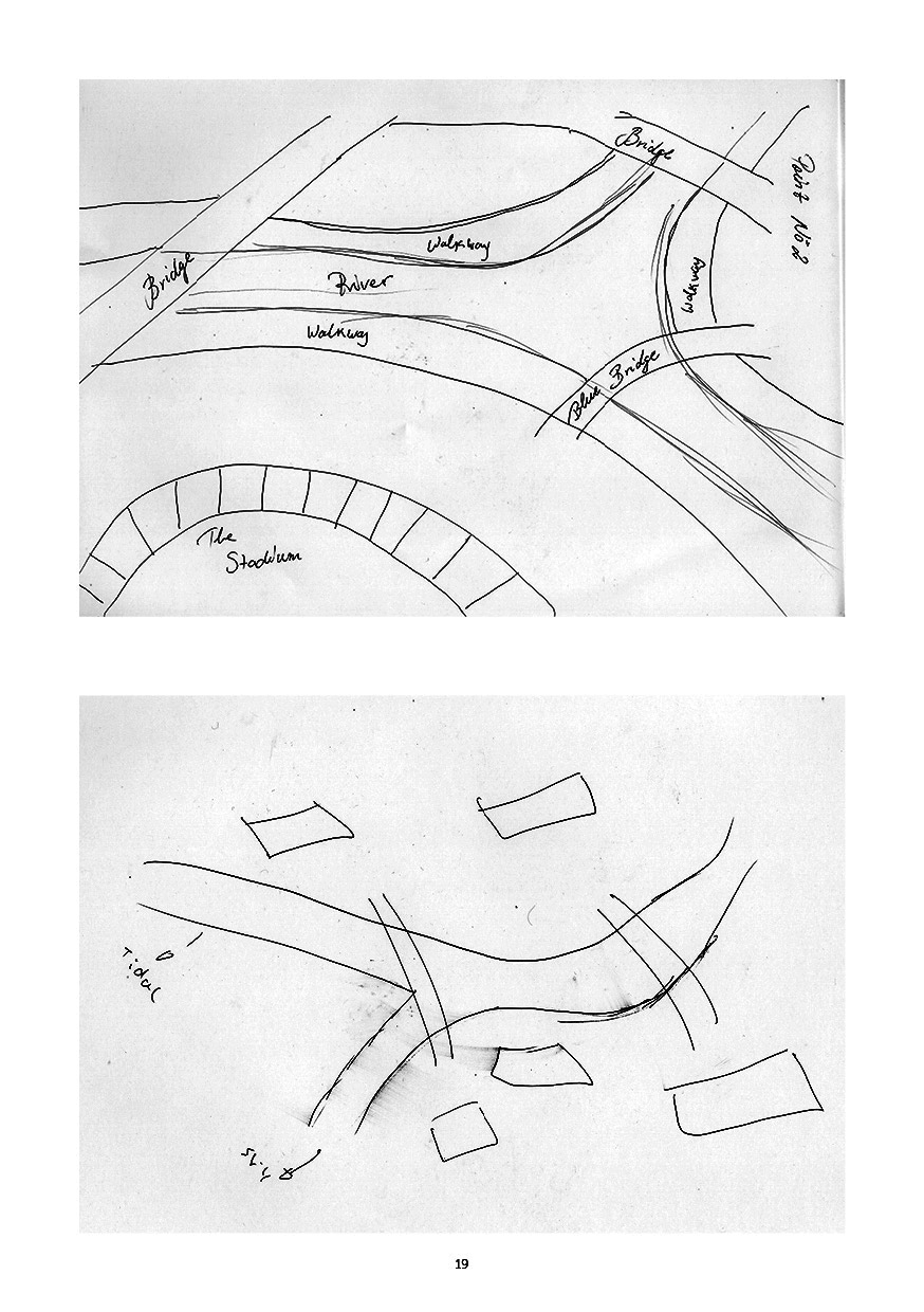
Hand-drawn maps/ diagrams made during the walk along the Lower Lea Valley, including four types of observations: water ways, river cuts, walking pathways, Interaction human - ecological activity, levels of sound and silence, construction, building areas. Included in the publication:
Follow Y/Our river: a manual for deep mapping in the Lower Lea Valley
Protocol Lower Lea Valley Oct 7th 2022
Observation point #3
The Lee navigation
(at the Old Ford Road/ Swan Wharf)
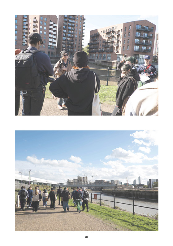
A gathering at observation point #3
The Lee navigation
(at the Old Ford Road/ Swan Wharf)
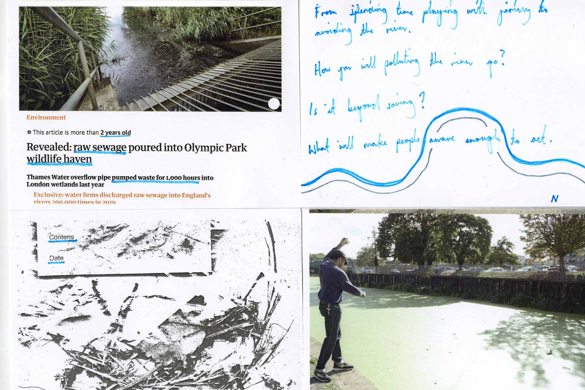
Actions: Engage with research archive
References:
Jon King, 'Rejection of plans to redevelop historic stable block is a big step in the right direction’
and two time-space-specific publishing projects
Mara Ferreri & Andreas Lang 'Notes from the Temporary City: Hackney Wick and Fish Island 2014-2015'
Jessie Brennan, Chris Dorley-Brown & Daniel Lehan, 'The Cut,' 2011
Practice of deep mapping
with Y2 Photography students
London South Bank University
Lower Lea Valley, Oct 7 2022
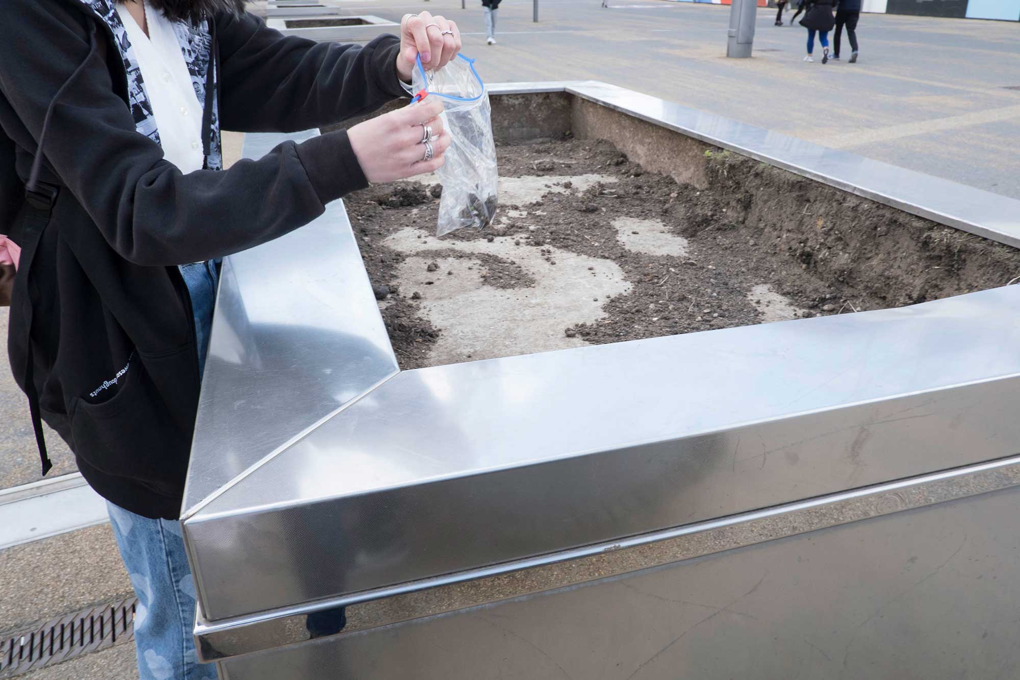
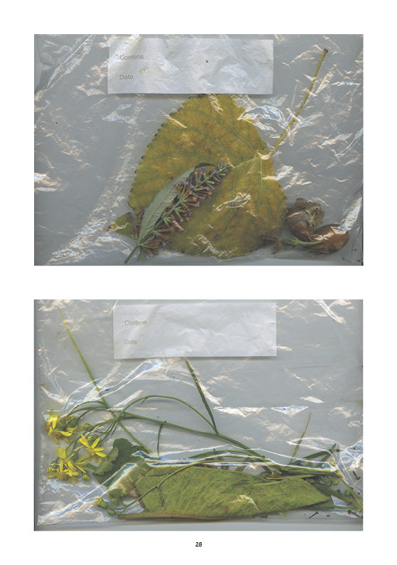
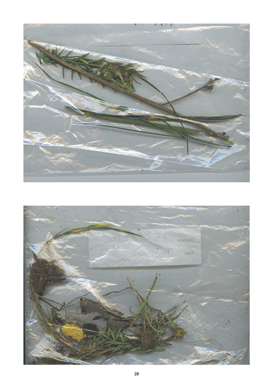
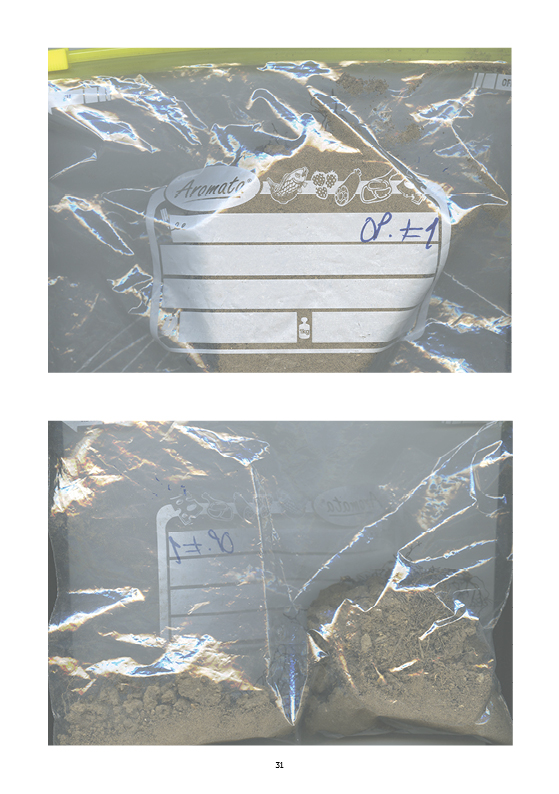
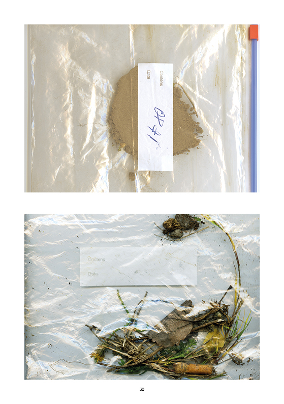
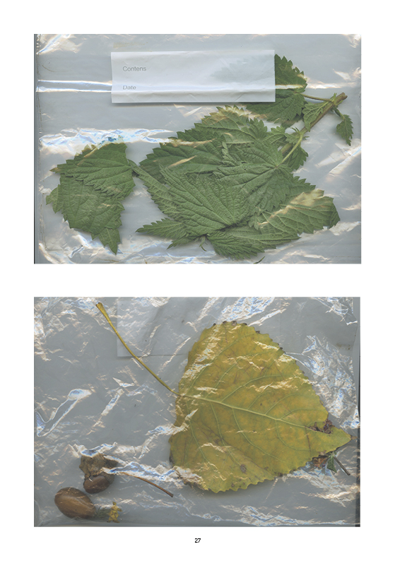
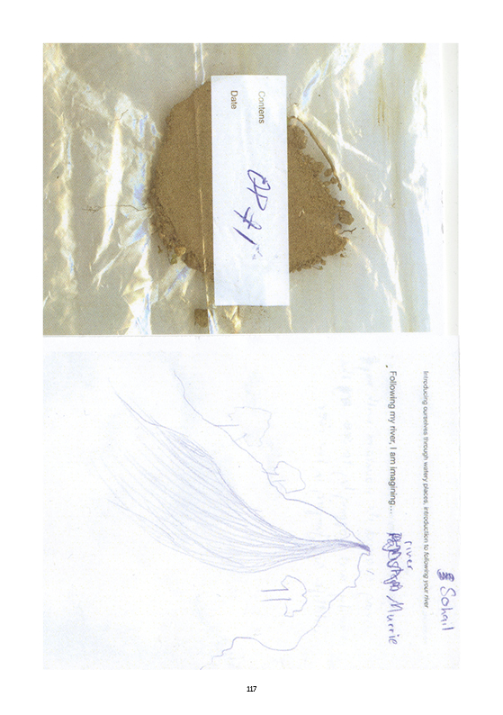
Materials collected during the walk along Lower Lea Valley, including four types of materials: Water, Soil, Plants, Objects.
documentation included in the publication:
Follow Y/Our river: a manual for deep mapping in the Lower Lea Valley
Practice of deep mapping
Lower Lea Valley, Oct 7 2022
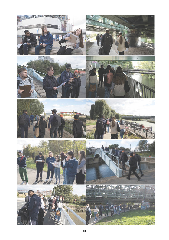
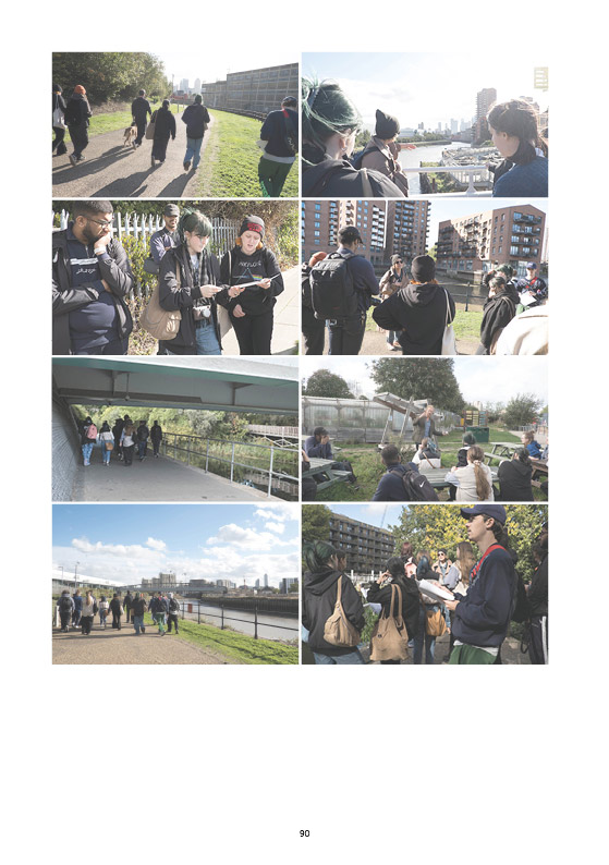
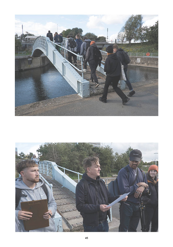
6.5 km itinerary with 10 observation points.
Photographs of the group walking along the observation points.
Practice of deep mapping
Lower Lea Valley, Oct 7 2022
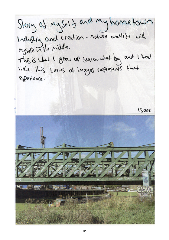
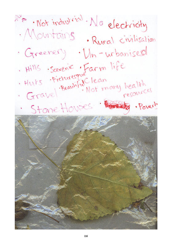
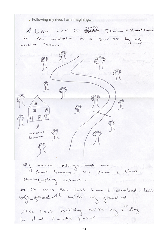
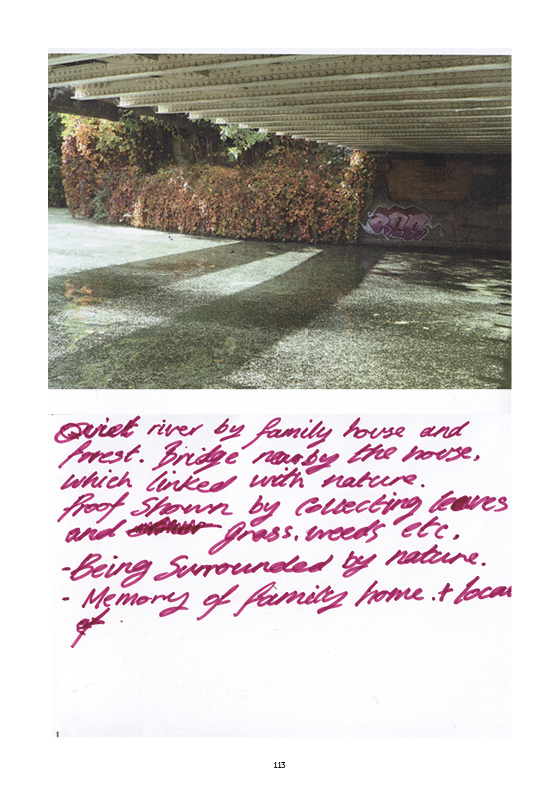
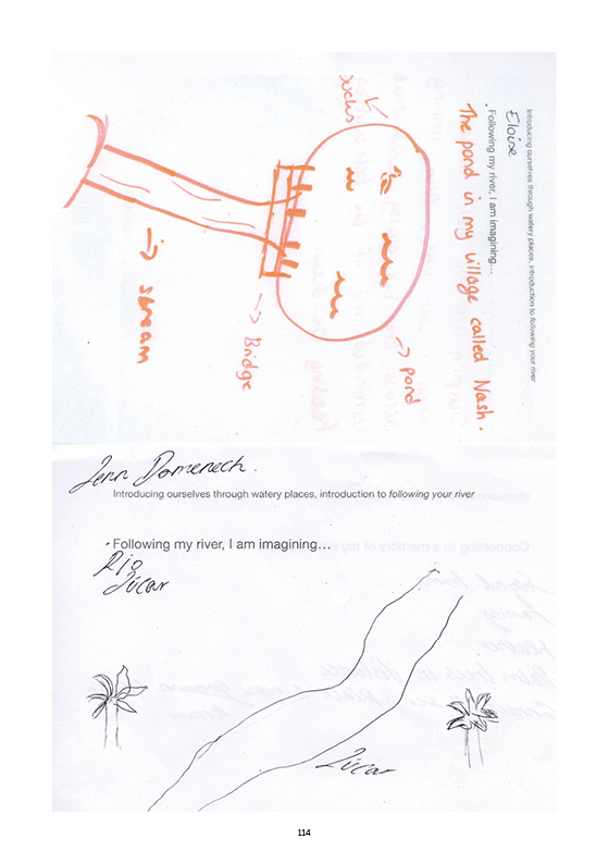
'Following my river / Connecting to a memory,' exercise of personal deep mapping with collage and writing on paper made after the walk.
Documentation included in the publication:
Follow Y/Our river: a manual for deep mapping in the Lower Lea Valley
Practice of deep mapping (in groups of 4)
Lower Lea Valley, Oct 7 2022
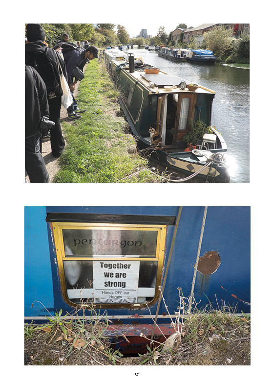
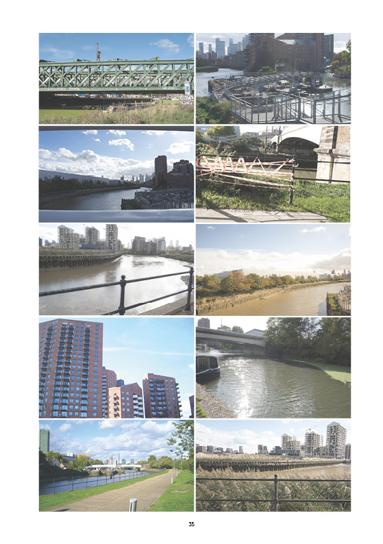
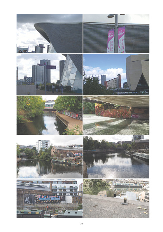
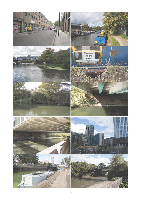
Photographs made during the walk along Lower Lea Valley, organised from the most corporate neo-liberal space (observation point 1: Olympic Parc) to most community-oriented space (observation point 10: Cody Dock), including four types of observations: human-made (dwelling, factory,bridge,waste), nature (river, trees,water), liminal spaces (inbetween water-land, past-present,nature-human built), infrastructure (roads, cables, plumbing, billboards)
